Verified storm · active
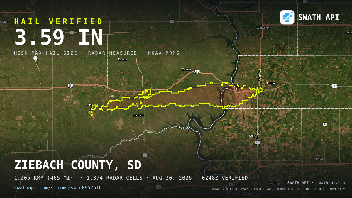
1.9–3.6" hail crossed Dewey County, SD — August 30, 2026
Measured against the NOAA MRMS national radar feed on its 2-minute cycle — a verified event, not a forecast.
Storm stats
| County | Dewey County, SD |
|---|---|
| Max hail (MESH) | 3.6" |
| Mean hail (MESH) | 1.9" |
| Swath area | 383 mi² (991 km²) |
| Radar cells (~1 km grid) | 1,135 |
| First radar detection | 2026-08-30 02:46 UTC |
| Last radar detection | 2026-08-30 05:30 UTC |
| Verified | 2026-08-30 02:48 UTC |
| Swath centroid | 44.9657, -100.8197 |
| Storm ID | sw_c09576f6 |
Free address check
Was your address under this swath?
Enter any US address — we check it against every storm we've verified, this one included. Free, no login, storm history only.
US ADDRESSES · GEOCODED VIA US CENSUS · FULL HISTORY TOOL →
Every roof under this swath, one API call.
Get the property list for this storm — every affected parcel with roof age, owner-occupancy, and measured hail exposure. Free API key, 2 free trial credits, no card.
curl "https://swathapi.com/v1/swaths/sw_c09576f6/properties?roof_age_min=10" \
  -H "Authorization: Bearer sk_..."
ASK CLAUDE OR CHATGPT ABOUT THIS STORM — SWATH WORKS INSIDE YOUR AI. CONNECT THE MCP SERVER
Want this every morning?
The Daily Swath — every verified storm, mapped, in your inbox at 9am ET.
Dewey County, SD — verified storm record
Swath has 31 radar-verified hail storms on record for Dewey County, SD going back to July 2025, the largest measuring 3.59″. Every one was measured against NOAA MRMS radar — not estimated, and not a forecast.